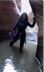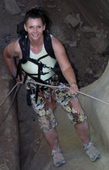
We set up a car shuttle with one car at Eagle Crags (Rockville near Zion) and the other at Hilldale (by Colorado City). We took the Smithsonian Butte Backway for the shuttle which is a great drive. We got underway about 9:30 am. Bo knew that Zion Rock was going to be there guiding a canyoneering trip, so we hiked up the steep trail to the head of Water Canyon (which we had to do anyway) to see where they start and asked about the rappels. Travis (who is on the Zion SAR team with Bo) said (I don't remember exactly) that there are about 8 rappels and 160' was the longest.
From there we hiked down the drainage until we found a good spot to climb up toward the hoodoos on top. We headed up the slickrock past lots of beautiful hoodoos. Then we got on the soft, sandy 4WD (that is suppose to be closed to 4WDs now) road and headed to the "Notch" and the "Windlass." Our directions we got from Bo's climbing friend Mikel told us to follow the dirt road and it would end at Sawmill Springs. There are lots of 4WD roads up there now – a mess of them. We followed a road and it got us way past the spring, so we had to dig out a map and figure out where the spring actually was since the roads were all over now. We got there and were happy to see there was water in the spring. Really gross water though! We set up camp and enjoyed the full moon and the food Bo cooked.
The night was COLD! Our water froze and there was ice on everything. We were warm in our bags though and we had those hot hand things to help us keep warm. We could not make a fire since we were in a wilderness study area.
The next day we started out — after the sun came up and it got warm. I was not leaving my sleeping bag before that!!! Bo was already up and cooked breakfast and hot drinks. (The perfect hiking partner!)
Sunday morning we headed down Sawmill Spring Wash. After hiking up hill all day on Saturday I was looking forward to some downhill. That area was perhaps the most spectacular of the whole hike. I will post some photos later today. We hiked the north edge to the 600' pour-off. Bo looked from the vantage point but could not see any weakness in the sheer cliff that might be the chute we were looking for. We hiked along the rim, looking at each weakness and for the cairn that Mikel had placed there. We had been told the exit was less than a mile from the vantage point and Bo dropped his pack and went quite a bit farther, still not finding it.
It was getting late and we had to make a choice — stay and look for the chute and maybe camp out (and have SAR called!) Or head back UPHILL to Water Canyon. ~groan~ I was looking forward to the downhill. As much as I hated to head back that's what we did. Bo decided to try and short cut so the parts that should have now been downhill were UPHILL. We were tired, but it was good exercise so we did not mind that much. We made it to the top of Water Canyon before dark and we saw the full moon peek over the mountain. We began to headlamp down the Water Canyon Trail, but we were dropping faster than the moon was rising so that was our only glimpse of it that night. So at least we did all the non-trail parts in daylight.
Canaan Mountain
Zion National Park


